From seabed to skyline — precision engineering across marine, civil, and construction domains
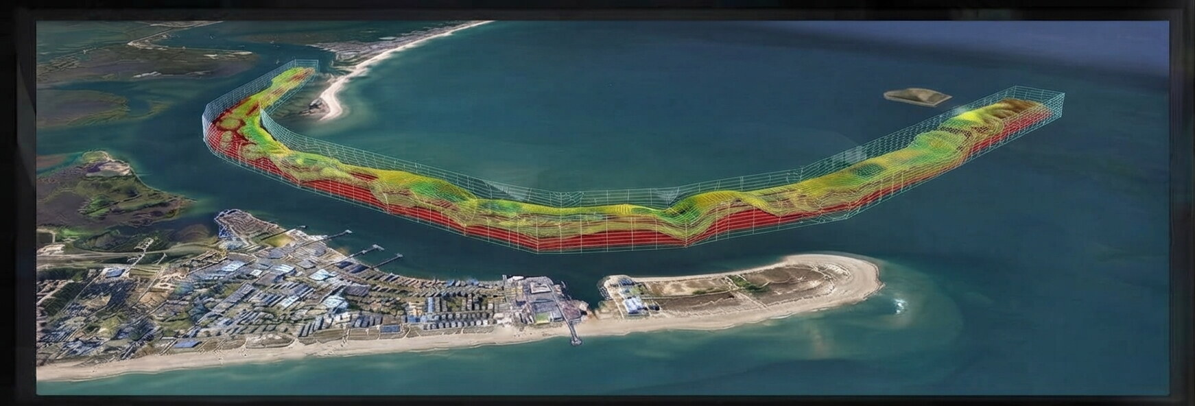
Comprehensive Shoreline-to-Seafloor Mapping and Data Collection for Coastal and Offshore Infrastructure
Learn MoreHigh-Precision Real-Time Navigation, Asset Tracking, and Vessel Positioning for Offshore Operations
Learn MoreReal-Time Oceanographic Data Collection, Hydrodynamic Modeling, and Environmental Baseline Monitoring
Learn MoreSub-Surface Geological Mapping and Geohazard Identification for Offshore Engineering & Marine Construction
Learn MoreSpecialized Mechanical Maintenance, Subsea Infrastructure Servicing, and Deck Equipment Mobilization
Learn MoreSoil, concrete, asphalt, and steel testing services.
Learn MoreState-of-the-art hydrographic survey equipment, UAV LiDAR, and precision positioning systems.
IHST-certified hydrographic surveyors and experienced civil engineers.
Successful delivery of marine and construction projects across the Middle East following international standards.

GEOMAK is a leading marine survey and engineering company in the Middle East, specializing in hydrographic survey, topographic survey, and construction survey with cutting-edge technology and IHST-certified professionals.
Our Equipment FleetStay updated with our latest news and industry insights
October 10, 2026
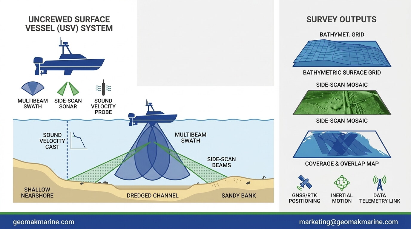
How uncrewed surface vessels combine multibeam, side-scan, and sound velocity sensors for shallow nearshore mapping
Read More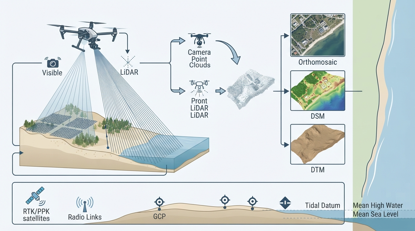
September 30, 2026
How UAV photogrammetry and LiDAR combine for terrain modelling, vegetation penetration, and shoreline extraction
Read More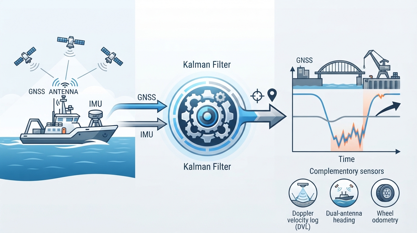
September 14, 2026
How IMUs, GNSS, and aiding sensors combine to maintain position and orientation during signal outage and dynamic motion
Read MoreSpeak with our experts for a tailored consultation and site survey proposal.